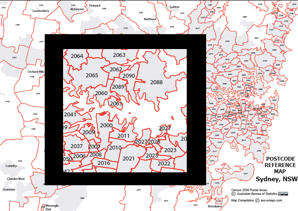
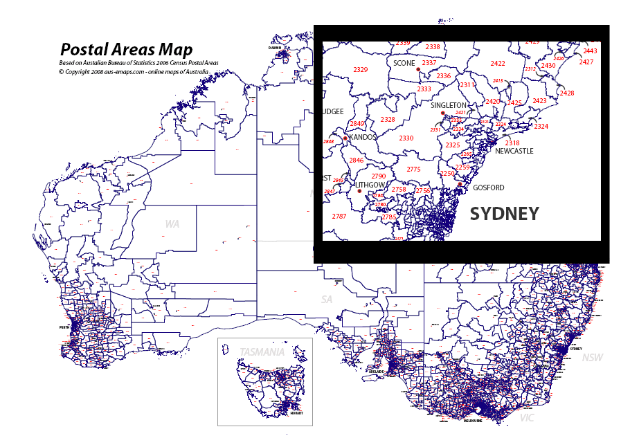
 Last weekend I have quietly launched another postcode related initiative – large format Postcode Maps in PDF format. The first batch includes maps covering Sydney, Melbourne and the ACT as well as postcodes in remote and rural areas and is based on Census 2006 Postal Area boundaries distributed by the Australian Bureau of Statistics. The maps are suitable for printing on local printers (eg as “banner” A4 tiles) as well as on large format commercial plotters.
There are two product lines for now:
- Postcode reference maps: showing just outlines of postal areas for capital cities (A3 format) as well as rural and outback postcodes (A0 format); and
- Capital Cities Maps: with fully featured OpenStreetMap background layer and postcode outlines on top (A0 format).
These maps are available for download from aus-emaps.com site for a small fee – but be warned, Capital Cites Maps are big - 80 to 260MB, depending on the coverage area. Printing and lamination can be arranged on request. I have made an undertaking that $10 from sale of every map containing OpenStreetMap imagery will be donated to OSM Foundation to support this great initiative.
I started experimenting with large format print from common browsers a while ago but so far I did not find any practical use for it. This is my first attempt to test the process in a production capacity. The process is relatively straightforward and can be used for “rapid creation” of custom maps but, since it involves a friendly graphic designer to generate the final version of the file with all relevant annotations, I am unable to provide those maps for free…
I have selected OpenStreetMap as a background image option since it is free to use under Creative Commons licence and I can charge for the derived product. Although technically it is also possible to produce maps with any Google imagery since they are generated directly from a browser and not through “assembly of individual map tiles”, which is specifically prohibited under the terms of use however, such maps could only be created for personal perusal, as defined by Google.
This is just an experiment to test the market for large format custom PDF maps. If there is any interest in these maps I will follow with the remaining capital cities and maybe some other administrative boundaries as standard options. Your feedback and comments most welcome.
Other related tools
Large format Postcode Maps complement a range of free postcode related tools from aus-emaps.com. These include Postcode Finder web widget for embedding into websites, thematic map with postcode and suburb boundary overlays, more advanced version called Postcode Finder map as well as demographic maps and demographic data tools containing information from 2006 Census of population and housing published by the Australian Bureau of Statistics. There are also free graphic vector files with outlines of Australia and capital cities available for download. More free resources to come!
Related posts:
Free postcode search widget
Post code maps and population statistics


No comments:
Post a Comment